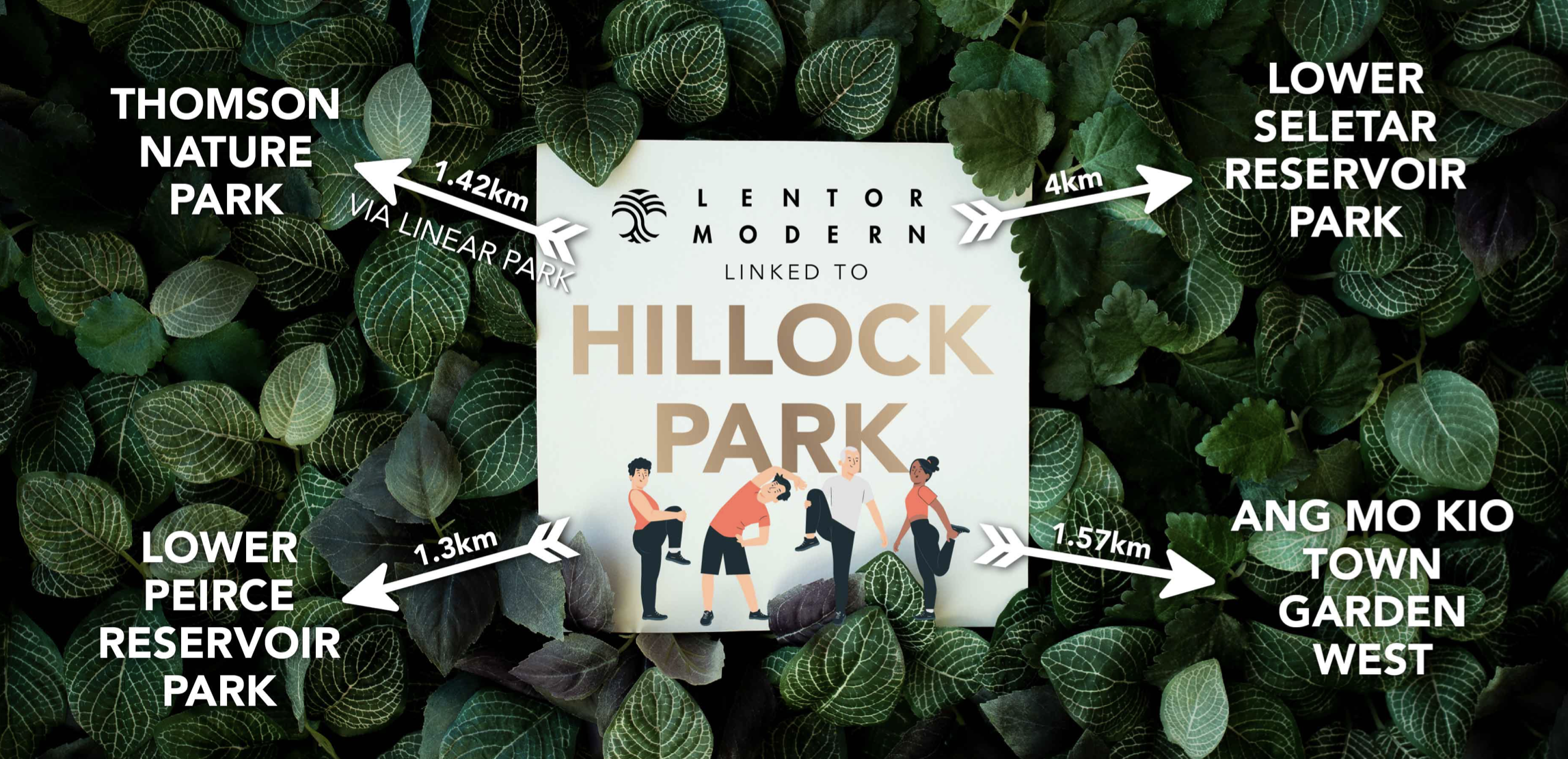
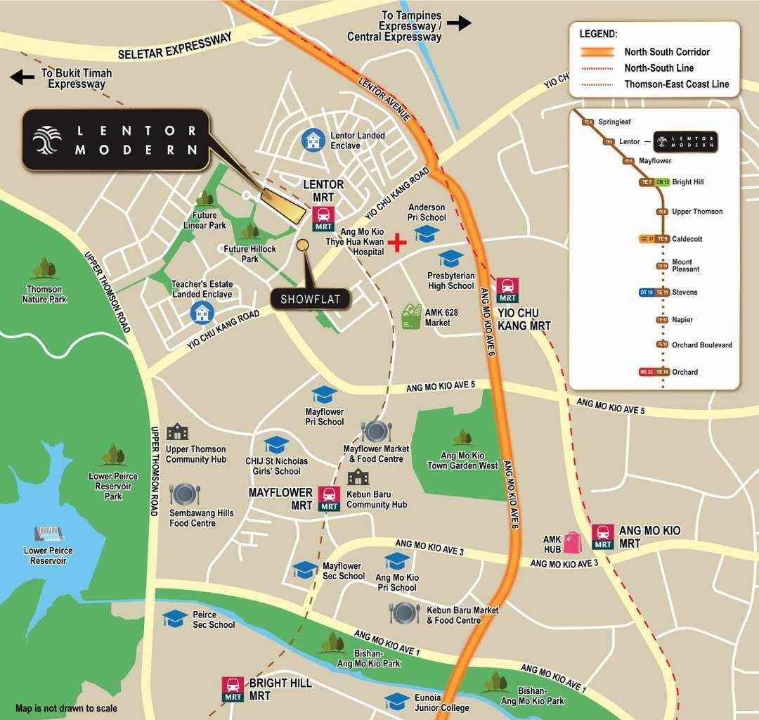
Location Map
Nearby Places
Primary Schools
- Anderson Primary School (0.72 km)
- Mayflower Primary School (1 km)
- CHIJ St Nicholas Girls' School (1.21 km)
- Ang Mo Kio Primary School (1.84 km)
- The Grange Institution (2.25 km)
Secondary Schools
- Presbyterian High School (0.95 km)
- Yio Chu Kang Secondary School (1.09 km)
- Mayflower Secondary School (1.85 km)
- Ang Mo Kio Secondary School (2.17 km)
- Peirce Secondary School (2.17 km)
MRT Stations
- Lentor (TE5) (0.22 km)
- Yio chu kang MRT station (1.17 km)
- Mayflower (TE6) (1.39 km)
- Springleaf (TE4) (2.3 km)
- Ang mo kio MRT station (2.42 km)
Nearest Hospitals & Clinics
- Ang Mo Kio Thye Hua Kwan Hospital Admin Block (0.57 km)
- Ang Mo Kio-Thye Hua Kwan Hospital (0.61 km)
- Day Rehabilitation Centre (0.61 km)
- Ang Mo Kio Medical Centre (1.23 km)
- Ang Mo Kio Polyclinic (1.69 km)
Parks & Recreation
- Thomson Nature Park (1.56 km)
- Bishan-Ang Mo Kio Park - Pond Gardens (2.18 km)
- Ang Mo Kio Town Garden East (2.34 km)
- Bishan-Ang Mo Kio Park (2.61 km)
- Aramsa - The Garden Spa (2.93 km)
Supermarkets
- Giant supermarket (1.34 km)
- FairPrice Xtra Ang Mo Kio Hub (2.34 km)
- Giant Express - Ang Mo Kio 525 (2.52 km)
- Giant Supermarket - Ang mo Kio Street 31 (2.69 km)
- Giant Supermarket - Khatib MRT (3.52 km)
Well connected to all your needs
The development is located beside Lentor MRT station and also near to Yio Chu Kang MRT station. Commuters will enjoy greater convenience with the upcoming Thomson East Coast Line, which will provide them easy access to Orchard Road and East Coast area.
MRT Station | Dining and Shopping | School |
|
|
|
Parks and Recreations | ||
|